

Morning Off Boston Light, by Clement Drew, 1839
Earliest Beacons Before the Construction of Boston Light
Boston’s location, characterized by its deep harbor, allowed it to become one of the largest shipping ports in Colonial America. Mariners encountered dangers from numerous islands and shoals, as any large vessel had to navigate through the harbor between the Brewster Islands in the outer harbor and the extended peninsula at Point Allerton in Hull, which was previously known as Nantasket by the Massachusetts tribe that inhabited the area until it was renamed Hull in 1644.
Boston also featured several beacons. One of the earliest was erected in 1635 on what became known as Beacon Hill (previously named Sentry Hill), about 138 feet above sea level, and served as the central hill of three peaks located west of the early settlement, collectively referred to as either the “Tramount” or “Trimountain.” One of Boston’s premier settlers, Reverend William Blackstone, owned the land. The structure consisted of a tar barrel that could be ignited atop a wooden tower. It was not intended to serve as a navigational aid but rather to alert inland areas of a potential invasion.
Another lighted warning beacon was constructed atop a stone tower at Point Allerton in Hull in 1673, and a day beacon may have been established on Great Brewster Island around 1679. Some records suggest there might have been an unlit day beacon on Little Brewster Island, which early documents referred to as “Beacon Island,” before the current Boston Lighthouse was built there.

Illustration of the Boston Harbor shipping route before Boston Light was constructed. © Allan Wood Photography, all rights reserved.
Was the Point Allerton Hilltop Beacon Used for Navigation?
Before the construction of the current Boston Light, simple lighted beacons existed in the harbor. The early beacons’ primary function was not navigation but warning of approaching enemy vessels. Records show that a stone beacon was built on Point Allerton in Hull as early as 1673. Because the area’s hills reach heights of up to 120 feet, the location offers a panoramic view of the harbor and any incoming ships, whether friendly or hostile, alerting locals to impending danger. This elevated location not only provided long-range visibility but also enabled observers to keep a lookout for hostile vessels, thereby guarding the southern approach to Boston Harbor.
The land was purchased from the owner, Benjamin Bosworth, for the construction of this tower. The beacon was built as a sturdy stone structure supporting an open iron basket or grate that held prepared fireballs made of pitch and oakum. According to colonial documents, these fireballs could be used to send an alarm up the bay. Oakum, a loosely twisted fiber made from hemp or jute, was used in shipbuilding, along with hot tar or pitch, to caulk and seal the wooden seams and joints of ships, preventing water leakage. Additionally, it could serve as a wick, with pitch, to maintain a constant fire for the beacon.
Thousands of ships sailed into Boston Harbor each year in the late 17th century. Most ships at that time preferred this southern entrance to Boston Harbor. Point Allerton was only a mile from the harbor, so a lighthouse there could help guide ships safely into the harbor day and night. During the day, the tower would serve as a daymark, while at night the lit beacon would guide ships. Before the tower was built, many ships would wait until daybreak if they arrived at the outskirts of the harbor at night, so they could safely navigate to the wharf on the shore.
Evidence of this appears in the General Court of the Province of Massachusetts Bay proceedings. They include a petition by the citizens of Hull on March 9, 1673, requesting that some of the town’s taxes be used to purchase materials for 400 boatloads of stone and other supplies, as well as for labor to build a beacon at “Alderton Point,” now known as Point Allerton. It is believed that some of these requests were granted, but not all. The original purpose was to warn locals of impending danger from enemy ships, smugglers, or privateers. However, many believe that, due to its unique position on the highest hill, it was also extensively used as a navigational aid between the islands for ships approaching Boston Harbor from the preferred southern end, leading some to consider it possibly one of the first navigational “lighthouses.”
Further evidence that this lit tower served as a well-known international navigational beacon appears in a 1690 journal entry by the Dutch merchant Jaspar Dankers. He describes sailing into a large harbor with nearly 50 islands en route to Boston, noting a beacon at the highest point, visible for up to 12 miles, that greeted mariners as they approached the port. He also writes, “In sailing by this island (the one with the beacon), you should keep to the west side; on the other side, there is an island with many rocks upon and around it. When you pass by it, you must be careful, as a shoal extends from it which you must navigate around.” The rocky island he describes, with the shoal, is likely the Brewster Islands, connected by a shoal or sandbar. A ship entering Boston Harbor from the preferred southern entrance would find Point Allerton to its west.
No documentation indicates that it existed at the same time as petitions for a lighthouse in Boston Harbor were made in 1713.

Older Map of Boston Harbor 1700s
Original Map via Picryl
America’s Oldest Navigational Lighthouse Station, Boston Light, Built 310 Years Ago
With its many islands and dangerous shoals, both exposed and hidden by incoming and outgoing tides, these natural barriers wreaked havoc on mariners attempting to enter the harbor at night, during foggy weather, or in storms, leading to frequent shipwrecks in Boston Harbor. As early as 1701, the New England almanac recorded evidence of the need for a navigational lighthouse to be built at the entrance to Boston Harbor. Finally, in 1713, weary of the continued loss of lives and property, Boston locals and surrounding leaders, led by the prominent merchant and selectman John George, petitioned the General Court of Massachusetts to construct a lighthouse at the harbor’s edge.
In agreement with the local leaders, Lieutenant Governor William Tailer headed a committee to spend time with the area’s most experienced shipmasters and other local mariners to get their views on where the best location would benefit all ships entering and leaving the harbor. They agreed that the best site for the lighthouse was “the Southernmost Part of the Great Brewster called Beacon Island.” The logic of the location of a navigational lighted beacon in guiding ships through the channel made for an excellent case for the construction of Point Allerton in 1673, and it also made sense to construct a lighthouse beacon on Beacon Island.
This island is now known as Little Brewster Island and is connected to Great Brewster Island by a sandbar. It is part of a small group of islands named after Elder William Brewster, a passenger on the original Mayflower voyage and the first preacher in Plymouth. This small, rocky island, located about one mile north of Hull and approximately eight miles east of Boston, is only about 600 feet long and around 250 feet wide, covering roughly one acre. The lighthouse was to be constructed at the highest elevation, about 18 feet above sea level, on the island’s eastern end.

Boston Lighthouse View 1729 Etching
Artist: William Burgis
On July 23, 1715, the General Court of Massachusetts passed the Boston Light Bill. It provided essential funds for building and maintaining a lighthouse and hiring a keeper to ensure the beacon was lit from sunrise to sunset. The lights would be made from tallow candles, derived from sheep or beef fat, and fish oil lamps would also be used. These lights would be positioned to maximize visibility for the greatest number of vessels entering or leaving the harbor.
To fund the construction, keeper’s salary, and yearly maintenance of the new first beacon, the lighthouse was to be financed by a tax of a penny per ton on all large vessels, with smaller coasting vessels paying two shillings on entering and leaving the harbor. Fishing vessels and small vessels transporting lumber and other building materials locally were taxed five shillings on an annual basis. The Collector of Customs of the port would be involved in the collection of “light-dues”.
Construction of the lighthouse began in 1715 and was completed in early fall of 1716. It was constructed as what is believed to be a 50-foot conical tower made of rubble stone or rough-cut granite, with a 15-foot octagonal enclosed lantern room placed on top made of wood and glass, accessed by a wooden spiral staircase, at a cost of 2,385 pounds. It is believed that the lantern initially held tallow candles and fish-oil lamps, with a simple metal reflector placed behind them to make the light visible from a distance.
On September 14, 1716, a shining light was displayed from Boston Lighthouse for the first time by its first keeper, George Worthylake, who lived with his family in a small keeper’s building on the island, keeping the beacon lit from sunup to sundown each day. A little over two years later, Worthylake and two members of his family would perish in a drowning accident near the beloved lighthouse.
Books to Explore
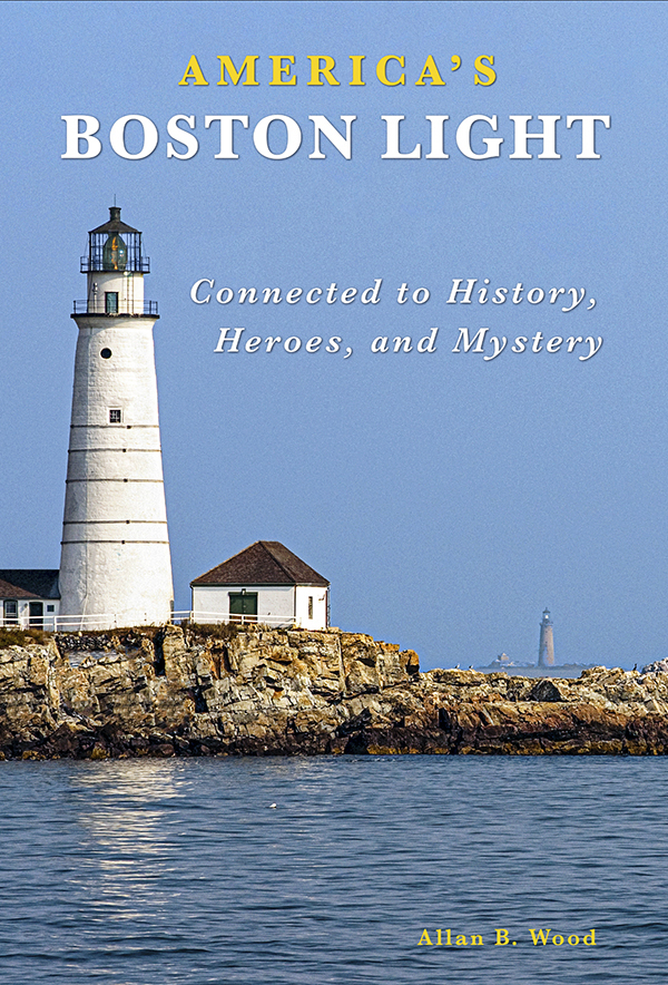
America’s Boston Light:
Connected to History, Heroes, and Mystery
Celebrating 310 years, explore Boston Light’s history and its ties to historical events, shipwrecks, and rescues by its keepers and local lifesavers. Learn about its connections to famous heroes, notable figures like Ben Franklin, and intriguing mysteries.
Rich in colorful paintings, photos, and vintage images, these visuals bring the stories to life. Embark on this captivating journey through maritime history!
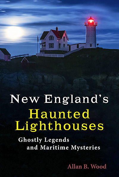
New England’s Haunted Lighthouses:
Ghostly Legends and Maritime Mysteries
Uncover the mysteries of New England’s haunted lighthouses! Uncover ghostly tales of lingering keepers, victims of misfortune or local shipwrecks, lost souls, ghost ships, and more. Many of these accounts begin with actual historical events that later give rise to unexplained incidents. Immerse yourself in the tales associated with these iconic beacons!
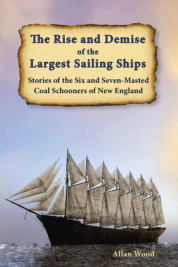
The Rise and Demise of the Largest Sailing Ships:
Stories of the Six and Seven-Masted Coal Schooners of New England
In the early 1900s, New England shipbuilders constructed the world’s largest sailing ships amid social and political reforms. These giants were the ten original six-masted coal schooners and one colossal seven-masted vessel, built to carry massive quantities of coal and building supplies, and measured longer than a football field! This self-published book, rich in color and vintage images, showcases the historical accounts that accompanied these mighty ships.
Also available from bookstores in paperback, hardcover, and eBook formats for all devices.


Lighthouses and Coastal Attractions of Southern New England:
Connecticut, Rhode Island, and Massachusetts.
This 300-page book provides memorable human interest stories from each of the 92 lighthouses. You can explore plenty of indoor and outdoor coastal attractions, including whale-watching excursions, lighthouse tours, windjammer sailing tours, parks, museums, and even lighthouses where you can stay overnight. You’ll also find plenty of stories of hauntings around lighthouses.

Lighthouses and Coastal Attractions of Northern New England:
New Hampshire, Maine, and Vermont.
This 300-page book provides memorable human interest stories from each of the 76 lighthouses. It also describes and provides contact information for numerous indoor and outdoor coastal attractions and tours. These include whale watching, lighthouse tours, unique parks, museums, and lighthouses where you can stay overnight. There are also stories of haunted lighthouses in these regions.
Copyright © Allan Wood Photography; do not reproduce without permission. All rights reserved.

American Lighthouse Foundation
Join, Learn, and Support The American Lighthouse Foundation